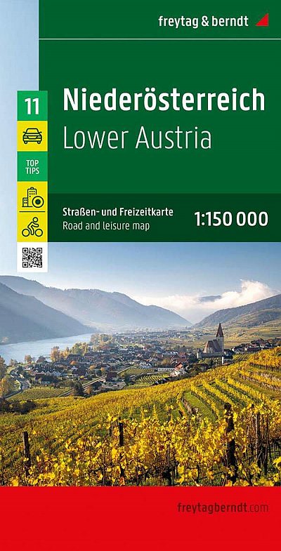
Lower Austria
Street and Activity Map
£12.90
|
|
The road and leisure map of Lower Austria on a scale of 1: 150,000 contains a lot of useful information for a trip through Lower Austria. The extensive road network is shown in detail and many regional cycle paths and long-distance cycle paths are shown on the map.
Tourist routes and scenic roads are highlighted in color and many attractive excursion destinations are marked.
Thanks to freytag & berndt's precise cartography, the Lower Austria car map is ideal for planning and orientation on site.
Information on the road and leisure map of Lower Austria
camping and motorhome parking spaces
Regional cycle paths and long -distance cycle paths
Worthwhile excursion destinations Long-distance
hiking trails
Info guide with top tips
St. P�lten city center map
The "Top Tips" series presents ten popular excursion destinations as well Cycling routes in Lower Austria shortly before (German and English).
In Stock
Usually dispatched within 24 hrs. Free delivery to UK for orders £25 and over.
£12.90
Cordee Code: FB1588
Author: Freytag & Berndt
No of Pages: 1
Page Size: 130 x 255 mm
ISBN 10: 3707922340
ISBN 13: 9783707922349
Publisher: Freytag & Berndt
Published Date: January 2024
Edition: 2024
Binding: Sheet map (folded)
Illustrations: colour mapping, double sided
Weight: 150g
|


 Accommodation Guides